Measurement Experts Specializing in Your Project's Success
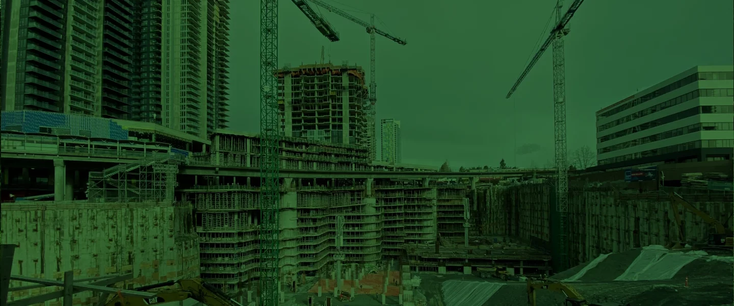
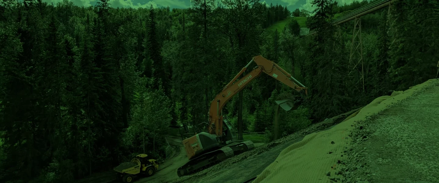
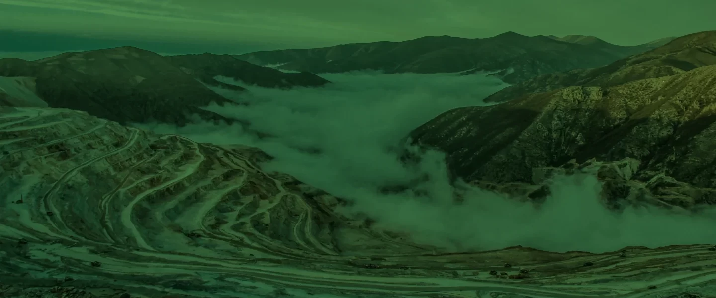
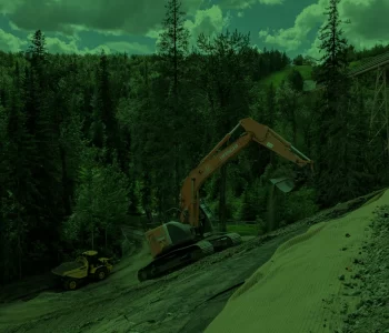
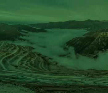
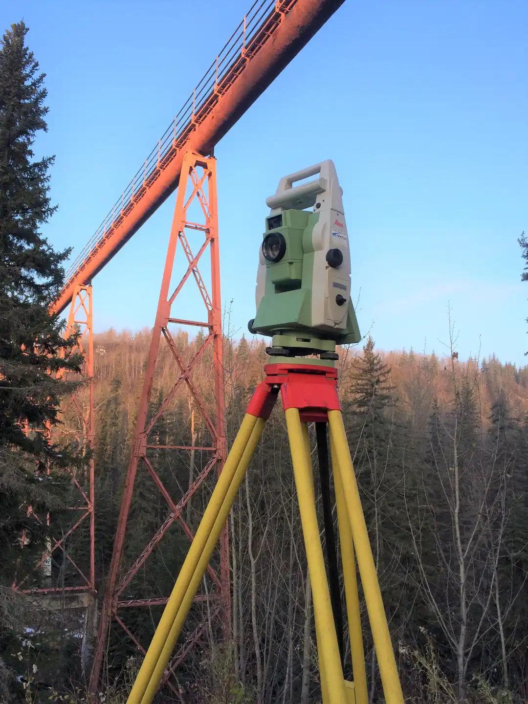
Earthworks and Deformation Monitoring
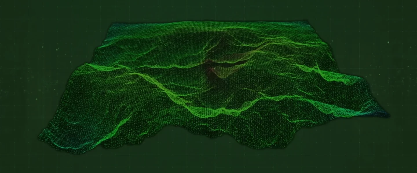
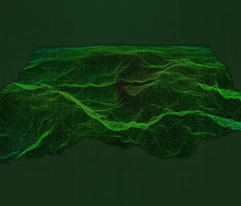
UAV/Drone Surveys
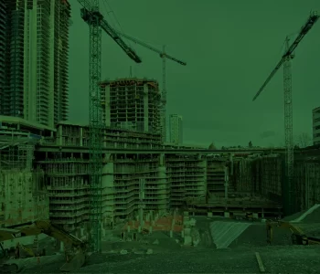
Concrete Form Construction and Setting of Anchor Bolts
Drafting, As-Builts, and Layouts
Exceeding Expectations is our Standard.
Measurement Experts Specializing in Your Project's Success
Earthworks and Deformation Monitoring
UAV/Drone Surveys
Concrete Form Construction and Setting of Anchor Bolts
Drafting, As-Builts, and Layouts
Exceeding Expectations is our Standard.
We are Keltic Geomatics Ltd.
Surveying, Drone Services, Utility Locating, GPR Concrete Scanning, Construction Services.
As a multi-disciplinary firm, Keltic Geomatics specializes in measurements, geomatics and various construction services. We are dedicated to delivering high-quality results that go beyond your expectations. Our comprehensive approach ensures tailored solutions to meet your specific needs, making us a reliable partner in your projects.
Custom Solutions
Tailored survey solutions to meet your specific needs.
Reliable Results
Timely delivery of accurate data.
Advanced Technology
Utilizing cutting-edge technology for precise results.
Established in 2015, Keltic Geomatics has steadily evolved into a recognized force in the Surveying and Construction Services industry. With a diverse portfolio encompassing surveying, civil construction, industrial alignments, mining services, concrete forms and more. Our growth is underpinned by an unwavering commitment to produce the best results possible. Reflecting our ambition to lead the industry, we operate seamlessly across British Columbia and Alberta, offering a comprehensive suite of services tailored to a variety of sectors.
Keltic has a proven track record of providing quality services across Canada to projects of all sizes and complexities. Contact us for more information. We’d be happy to help!
Land Acknowledgement
At Keltic Geomatics, we acknowledge with deep respect and gratitude that the land on which we operate and live are the unceded, traditional, ancestral territories of the xʷməθkʷəy̓əm (Musqueam), Sḵwx̱wú7mesh (Squamish), Stó:lō, səlilwətaɬ (Tsleil-Waututh), Secwépemc, Nlaka’pamux, and numerous other First Nations and Indigenous communities.
It is our commitment to approach our work with honour and respect towards the people, the territories, and the lands while recognizing that Indigenous knowledge systems are integral to responsible land use and resource management.
We express our gratitude for the opportunity to live and work on these lands and strive to foster respectful partnerships with Indigenous communities.