Mountain View Townhouse Project
Back Mountainview Townhouse Project Mann Group (Abbotsford, BC 2023) The ProjectKeltic was employed for the Mountainview Townhouse Project to utilize the specialty drone services we…

The Project
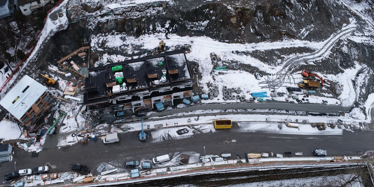
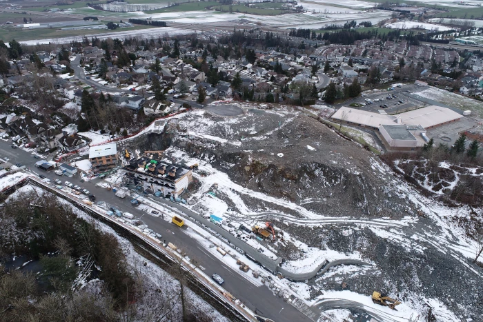
Keltic was employed for the Mountainview Townhouse Project to utilize the specialty drone services we provide to produce accurate data for material removal.
The Scope
The Details

Benefits of Drone Use in Volume Calculation and Rock Estimation
Survey grade drones equipped with high-resolution cameras and advanced photogrammetric technology offer a number of advantages in volume calculations. The most prominent benefit is the efficiency and speed with which data can be collected over large and challenging terrains. Drones can swiftly cover vast areas, capturing high-resolution images that are essential for accurate rock volume and lineal meter estimations.
GPS technology and sensors on the drones aid in geo-referencing the captured images, ensuring spatial accuracy in the resulting models. The data collected by the drones can be processed using specialized software, which utilizes algorithms to create detailed topographic maps and quantify the rock masses effectively.
Use the Strengths of Both Survey Grade Drones and Conventional Surveying
The integration of survey grade drones with conventional survey techniques for rock estimation marks a significant leap forward in the field of surveying. While drones offer unparalleled speed, safety, and precision, conventional methods have their merits, especially in terms of initial costs and reliability. The key lies in finding a balanced approach that leverages the strengths of both methodologies, ensuring the most accurate and efficient rock estimation for various surveying applications.
Back Mountainview Townhouse Project Mann Group (Abbotsford, BC 2023) The ProjectKeltic was employed for the Mountainview Townhouse Project to utilize the specialty drone services we…
Back Burnaby Hospital Upgrade Matcon Underground Utilities (Burnaby, BC 2023-2024) The Project Burnaby Hospital was receiving a major upgrade. Matcon chose Keltic to support them…
Back Vancouver Landfill King Hoe Excavating (Delta, BC 2020-2022) The Project The Vancouver landfill in Delta BC is an impressive facility, managing many kinds of…
Keltic has a proven track record of providing quality services across Canada to projects of all sizes and complexities. Contact us for more information. We’d be happy to help!